
About This Park
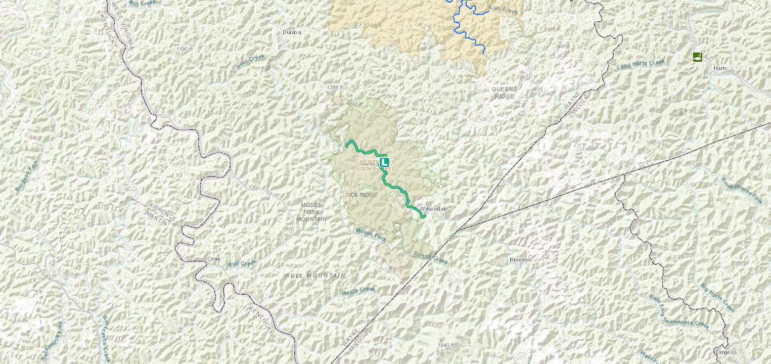
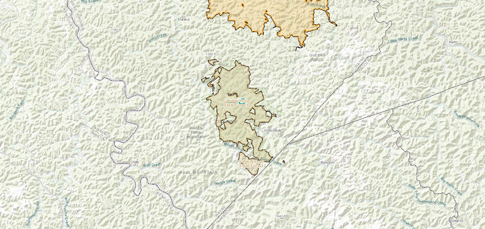
Located on 8,296 heavily forested acres in southern West Virginia, Cabwaylingo State Forest is a beautiful destination to relax and unwind. The forest, located in Wayne County, gets its unique name from the four surrounding counties: (Cab)el, (Way)ne, (Lin)coln and Min(go). Cabwaylingo State Forest was established in the 1930s by the Civilian Conservation Corps in an effort to rebuild wooded land in southern West Virginia.
Cabwaylingo State Forest is home to the Cabwaylingo Trail, the first in the Hatfield-McCoy Trail System to be located within a West Virginia State Forest. Here, ATV, UTV, 4x4 and dirt bike riders will find nearly 100 miles of trails, parking for trucks and trailers as well as a trailhead facility with trail permits for sale.
Accommodations
Select an option below to learn more about the accommodations at this park.Activities
Select an activity below to learn more-
ATV
ATV
The Cabwaylingo Trail is the first in Hatfield-McCoy Trail System to be located within a state forest. ATV, UTV, 4×4 and dirt bike riders will find nearly 100 miles of new trails to explore, plenty of parking for trucks and trailers, and a trailhead facility with trail permits and Hatfield-McCoy Trails merchandise for sale.
-
Biking
Biking
Bike your heart out at Cabwaylingo! Nine miles of beautiful trails are ready for biking enthusiasts to enjoy. Trail maps are provided, but trail users are encouraged to wear blaze orange or brightly colored outerwear during hunting seasons for safety.
-
Camping
Camping
Cabwaylingo State Forest has two campgrounds. The Tick Ridge Campground has 8 rustic sites. The Spruce Creek Campground has 11 sites, six with electric and water hookups and nearby shower facilities. Cabwaylingo also has a 100-person, fully-equipped group campsite great for retreats, meetings, family reunions and other large social outings. Campgrounds are open April 1 through October 31. All campsites at Cabwaylingo State Forest are reservable, are reservable online, as available.
-
Fishing
Fishing
Cabwaylingo State Forest has excellent fishing opportunities. Fresh trout are stocked monthly, from February to May, in the west fork of Twelvepole Creek. Proper license and stamps are required and can be purchased at www.wvfish.com.
Fishing in Cabwaylingo State Forest
-
Hiking
Hiking
Hikers can capture the scenic beauty of the forest and enjoy the varieties of wildflowers and trees growing along the forest’s nine miles of trail. See the overhanging rock cliffs that once provided shelter for early settlers in the area. Trails range from one mile to three miles in length so go at your own pace and soak in the blissful scenery!
Download Park Pack & Map -
Hunting
Hunting
Head on out to the forest and see what you can find! Hunters are permitted to hunt the forest during the respective seasons, but must have proper licensing. Licenses can be purchased at www.wvhunt.com.
Hunting in Cabwaylingo State Forest
-
Museums & Historical Sites
Museums & Historical Sites
The Huntington Museum of Art overflows with firearms, British silver, sculptures, Islamic prayer rugs, and regional memorabilia. You can also tour nature trails and a tropical plant conservatory.
-
Outdoor Adventures
Outdoor Adventures
A basketball court is located near the group camp and equipment can be rented at a nominal fee. Volleyball courts are on site, as well as the Crum-Morgan picnic shelter.
Contact
- Phone: 304-385-4255
- Email: cabwaylingosf@wv.gov
- Address: 4279 Cabwaylingo Park Rd, Dunlow, WV 25511
History
Cabwaylingo State Forest was established in the 1930s, by the Civilian Conservation Corps, to rebuild forested land in Southern West Virginia. This effort was instrumental in getting the state’s park system established. Over the years, CCC workers built log cabins as well as the many trails and shelters still in use today.
Picnicking
Cabwaylingo State Forest is an ideal spot for a picnic or family reunion. The forest has several shelters, furnished with tables, fireplaces, drinking water, conveniently located toilet facilities and playground equipment – perfect for large gatherings. Picnic shelters may be reserved online, through our state park call center or at the park headquarters, but plan in advance because these shelters are popular!
Trails
Download Park Trail MapAsh Branch Trail
Copley Trail
Indian Trail
Martin Ridge Trail
Sleepy Hollow Trail
Spruce Creek Trail
Nearby Attractions
Beech Fork State Park
Venture into Beech Fork State Park and Lake near Huntington for some recreation boating, fishing and wildlife watching experiences.
Camden Park
You’ll really want to bring the kids along for this one! West Virginia’s family-owned amusement park offers rides for kids and adults and smiles for all.
Chief Logan State Park
For more time in nature look no further than the 4,000-acre Chief Logan State Park in southern West Virginia. Chief Logan features a 25-site campground, outdoor amphitheater, and wildlife center.
Heritage Farm Museum & Village
Learn more about West Virginia in this unique and interactive space. The outdoor living museum showcases Appalachian history and culture for all ages to see. Grab some souvenirs from the gift shop to share with family and friends!